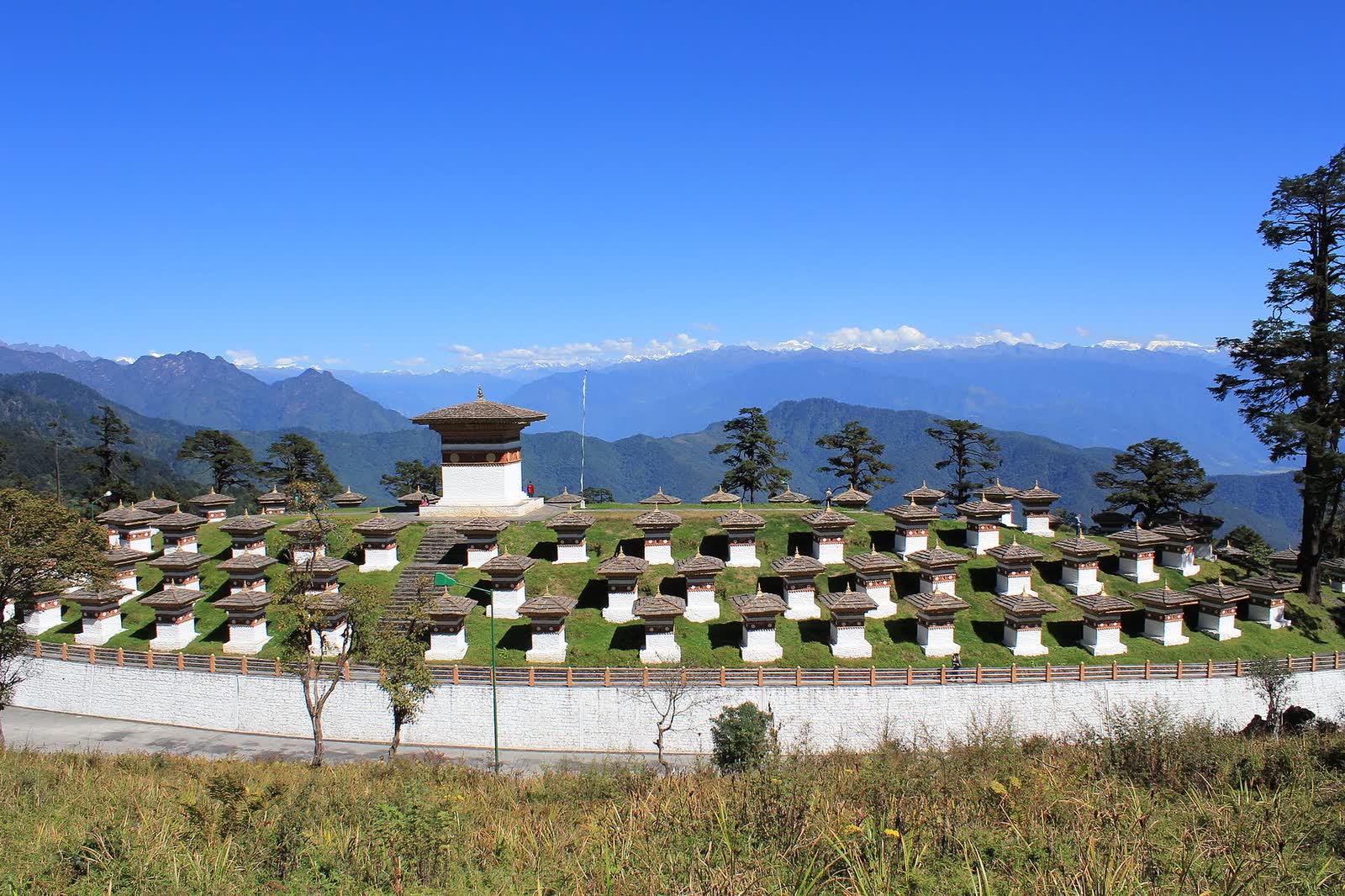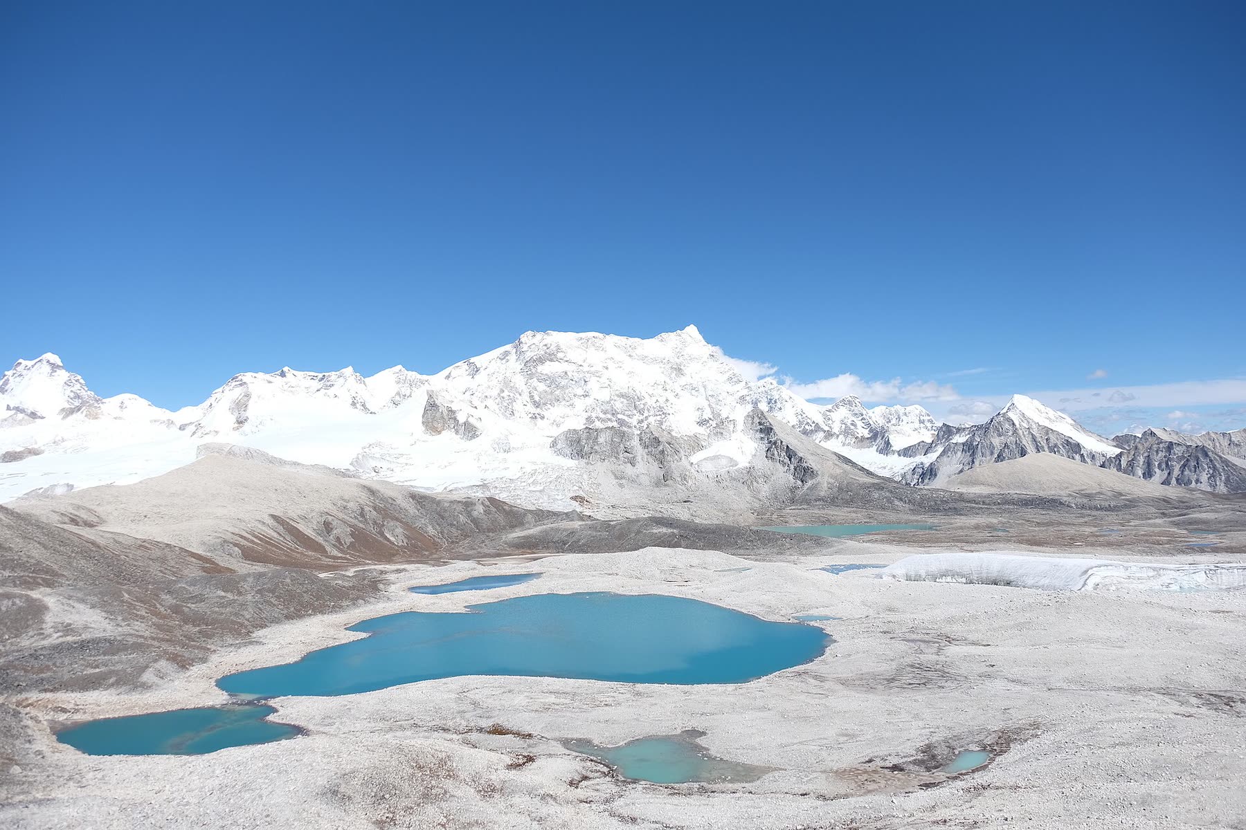
Bhutan packs an astonishing range of landscapes into a small country — rising from near sea level in the south to above 7,500 metres on the northern border.
The land
Bhutan is a landlocked kingdom of about 38,000 square kilometres, between India and the Tibetan plateau. Its highest peak, Gangkhar Puensum (7,570 m), is thought to be the highest unclimbed mountain in the world; climbing above 6,000 metres is not permitted, out of respect for the mountains.
Three zones
- The south — subtropical foothills and plains, hot and humid
- The central valleys — temperate, with the main towns, rice terraces and dzongs
- The north — alpine country of high passes, glaciers and yak pastures
Forests
Bhutan's constitution requires that at least 60% of the country remains under forest, and today the figure is around 70%. As a result Bhutan absorbs more carbon than it emits — one of very few carbon-negative countries.
Climate
The monsoon arrives in June and lasts until September. Spring and autumn are mild and dry; winters are cold in the high valleys and mild in the south. Temperatures drop quickly with altitude, so pack layers whenever you travel.
Regulations and fees change from time to time; we always confirm the latest details in your quotation.
Header photo: Gradythebadger, CC BY-SA 4.0